Quick answer: you can drive or take the bus up to the national park (around 2,000–2,350 metres, no permit needed), take the cable car to La Rambleta (3,555 m, with a ticket) or go on foot along the volcano’s trails (with a Tenerife ON permit). To stand on the summit, at 3,715 m, you always need the permit for the PNT 10 Telesforo Bravo trail, however you get up there.
Teide Inolvidable is an independent, unofficial information website. Permits can only be booked on Tenerife ON.
Mount Teide’s three levels
«Going up Teide» can mean very different things, and that decides whether you need a permit or not. Think of it as three heights:
- Las Cañadas, by car2,000–2,350 m
- Cable car base station2,356 m
- La Rambleta3,555 m
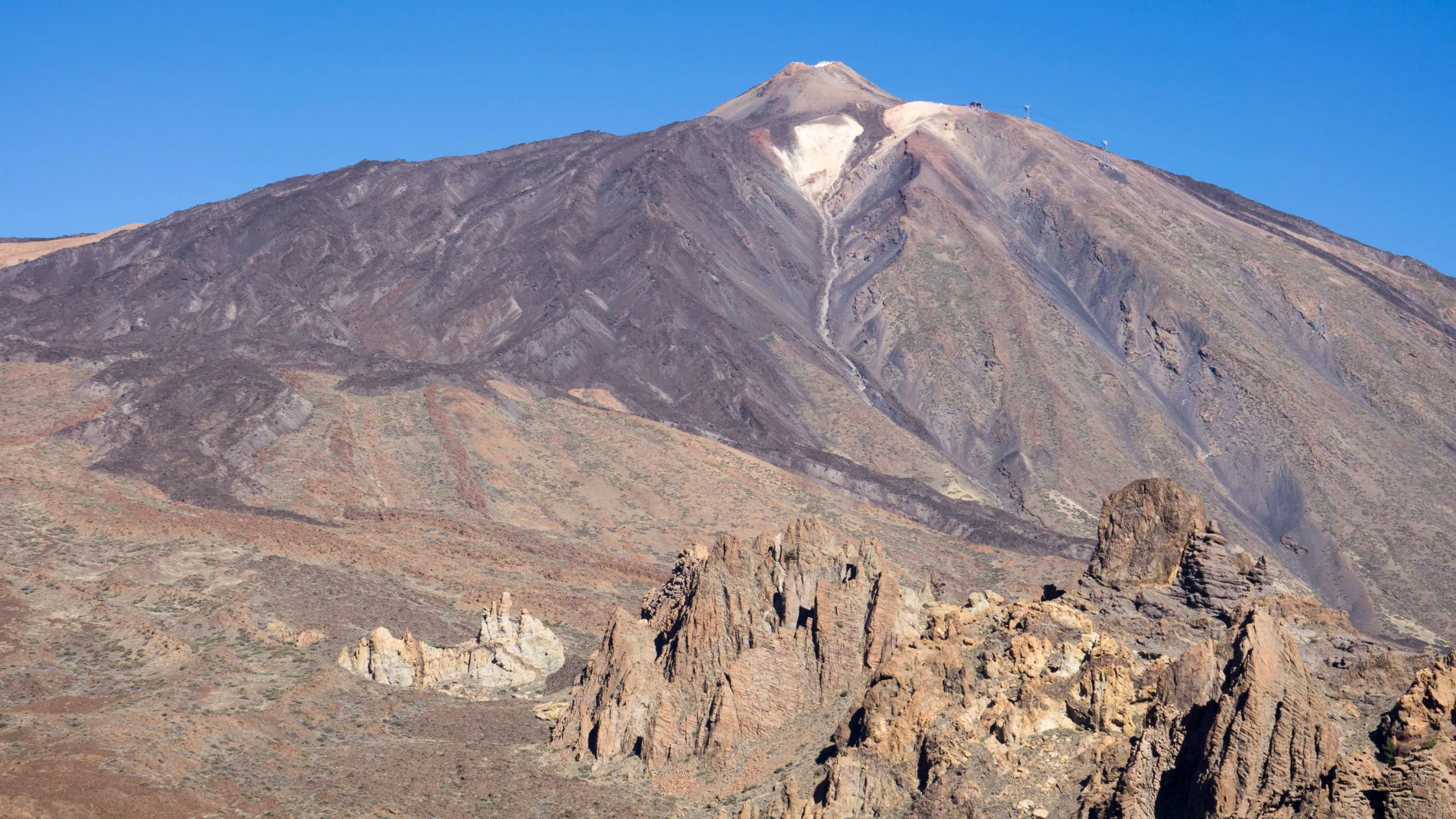
- Summit of Teide3,715 m
- Level 1
Las Cañadas
The great volcanic plain around Teide. You get there by road and can explore it freely.
2,000–2,350 mNo permit - Level 2
La Rambleta
Where the cable car ends. The trails to the La Fortaleza and Pico Viejo viewpoints start here.
3,555 mTicket or PNT 07 - Level 3
The summit
The crater, at the end of the Telesforo Bravo trail. Restricted access with a permit.
3,715 mPNT 10 permit
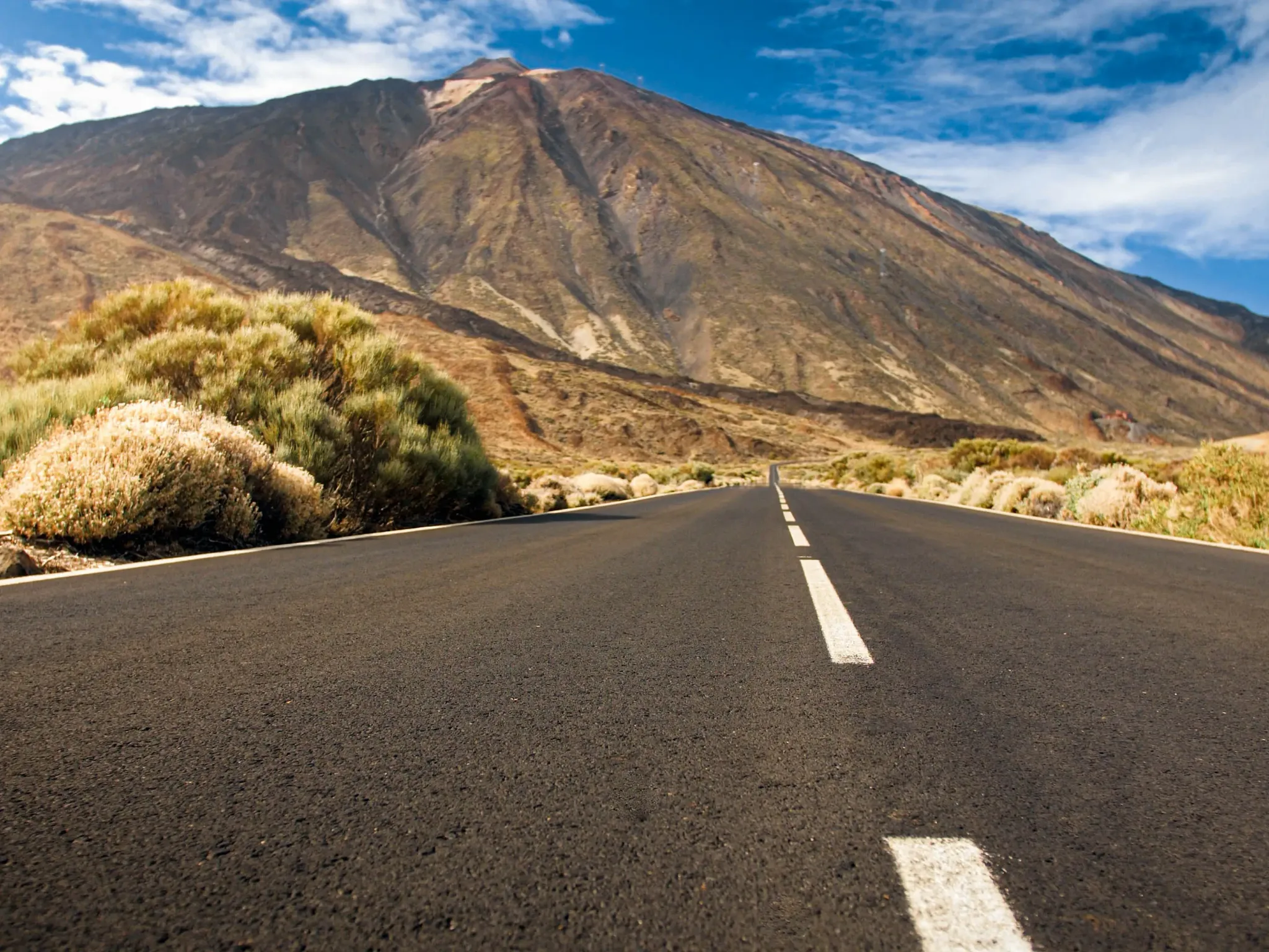
By car or bus to the national park
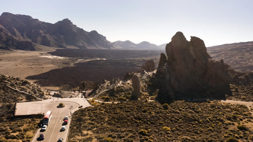
It’s the simplest option and the only free one. Four roads climb to Las Cañadas, and the cable car base station is right by the TF‑21, at 2,356 metres.
By public transport, TITSA (Tenerife’s bus company) serves the park with line 348 from Puerto de la Cruz and line 342 from Costa Adeje. There are only a few buses a day, so check the timetable before you go. You’ll find routes, journey times and tips in how to get to Mount Teide.
Roads can close because of snow, ice or fire risk. Before setting off, check their status with the Cabildo’s road information centre (cic.tenerife.es or 900 210 131) and in our guide to whether Mount Teide is open today.
- TF‑21 from the north, from La Orotava.
- TF‑21 from the south, from Granadilla de Abona via Vilaflor.
- TF‑24 from the east, from La Laguna via La Esperanza.
- TF‑38 from the west, from Chío.
By cable car to La Rambleta
The cable car climbs about 1,200 metres between the base station (2,356 m) and La Rambleta (3,555 m). It’s what most visitors choose because it doesn’t require any fitness, although you will notice the altitude.
- Ticket: bought on the official cable car website (Volcano Teide). In 2026 a return ticket for a non-resident adult starts at €43, and for an adult resident in the Canary Islands at €10.75.
- Opening hours: 9:00 to 17:00 for most of the year, with longer hours in summer and at Easter.
- What you can do at the top without a permit: the trails to the La Fortaleza and Pico Viejo viewpoints, which start from the upper station.
- What needs a permit: the PNT 10 Telesforo Bravo trail to the crater.
The cable car closes in strong wind, ice or for maintenance. All the details are in our guide to the Teide cable car.
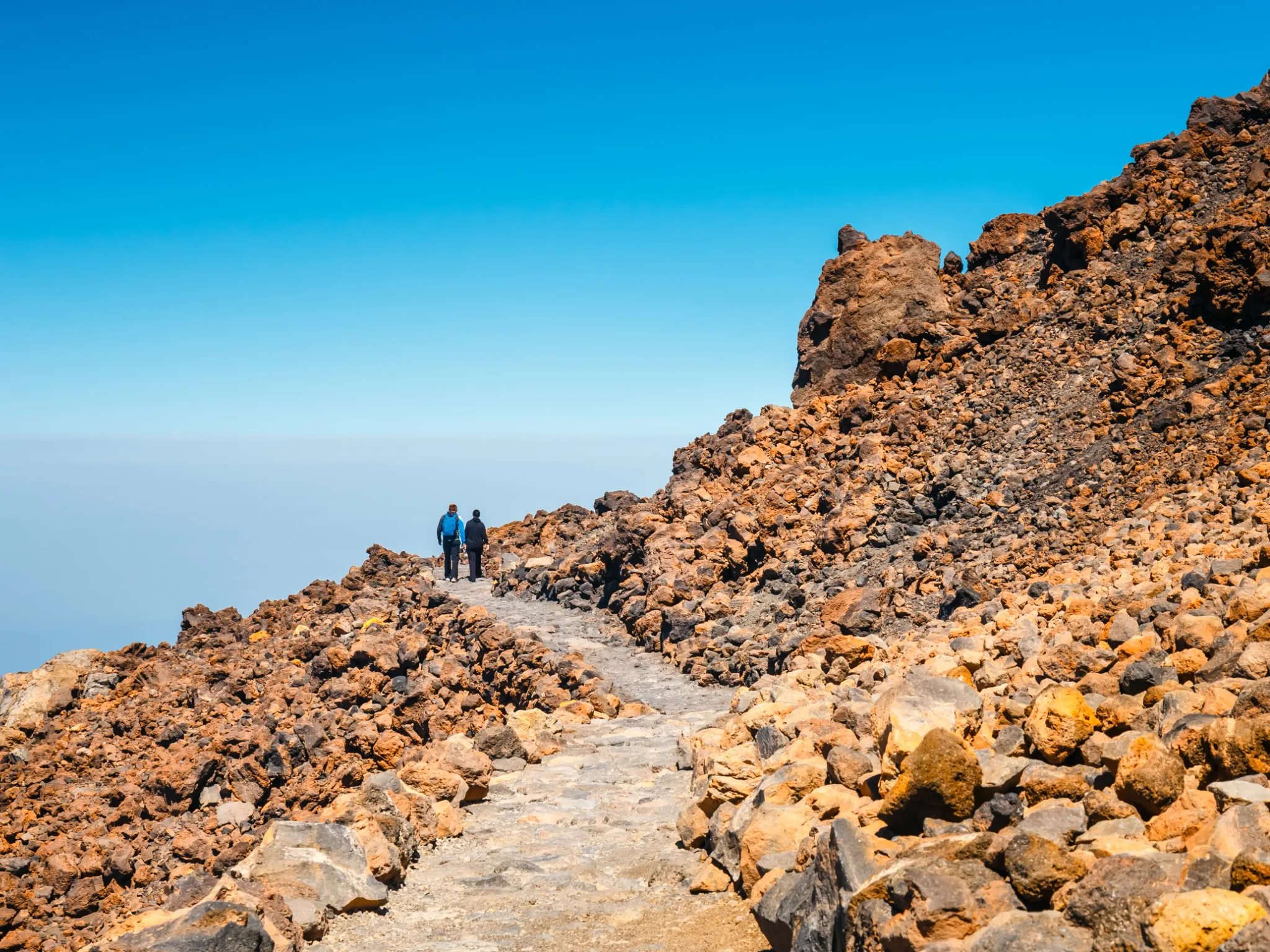
On foot along the volcano’s trails
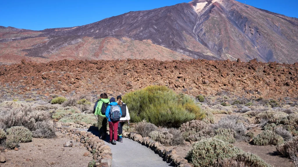
Walking up is a high-mountain experience: many hours of effort, more than 1,300 metres of ascent and air with less oxygen. The trails on the volcano are regulated and all of them need a booking in advance on Tenerife ON:
Combining PNT 07 and PNT 10, it’s 8.95 km and around 1,490 m of total ascent from the TF‑21 to the crater; from km 4.6 onwards you’re walking above 2,700 m.
To walk to the summit you need two permits: one for the trail you go up and one for PNT 10. We explain it in detail in hiking Mount Teide and in our guide to the Mount Teide summit permit.
- PNT 07 Montaña Blanca – La Rambleta the classic route: 8.29 km and around 1,309 m of total ascent according to the official trail page.
- PNT 09 Teide – Pico Viejo – Narices del Teide longer and more technical: 9.61 km and 1,605 m of height difference, described downhill on the official page.
- PNT 10 Telesforo Bravo the final stretch to the summit: 656 m and 183 m of ascent, compulsory even if you take the cable car.
Quick comparison
| Option | How far up | Permit | Effort |
|---|---|---|---|
| Car or bus | Las Cañadas (≈2,000–2,350 m) | No | None |
| Cable car | La Rambleta (3,555 m) | No (ticket) | Low, but at altitude |
| Cable car + Telesforo Bravo | Summit (3,715 m) | PNT 10 | Medium: short but very steep |
| On foot via Montaña Blanca | La Rambleta or the summit | PNT 07 (+ PNT 10 for the summit) | High |
Which one suits your plans
- You’re with young children or older people: drive around Las Cañadas and, if you fancy it, take the cable car to see the landscape from La Rambleta. Remember that children under 3 can’t walk the Telesforo Bravo trail.
- You want to reach the summit without a long hike: cable car + PNT 10 permit. Book the permit first.
- You’re a hiker looking for a challenge: PNT 07 from Montaña Blanca, with an early start and a PNT 10 permit for the final stretch.
- You have heart or breathing problems: the national park advises against the high-mountain trails. Enjoy the Las Cañadas viewpoints instead.
If it’s your first time, also read how to avoid altitude sickness and the best time to go up.
Frequently asked questions
Can you go up Mount Teide without a permit?
Up to La Rambleta, yes: by car to the park and by cable car to the upper station. To the summit, no: the Telesforo Bravo trail requires a permit, and so do the trails for walking up.
How far up can you drive?
To Las Cañadas and the cable car base station, at 2,356 metres. From there you continue by cable car or on foot.
How much does it cost to go up Mount Teide?
Entering the national park is free. The cable car has a fee (return from €43 for a non-resident adult in 2026) and the PNT 10 permit costs between €0 and €15 depending on where you live and the time slot.
Can you go up Mount Teide independently?
Yes. You don’t have to go with a guide or on a tour. You only need the permits for the trails you plan to walk.
Do you need to book to go up Mount Teide?
For the summit and for the volcano’s trails, yes, on Tenerife ON. The cable car is booked separately and it’s best to do it in advance.
Sources: Tenerife ON (permits and trail pages), Volcano Teide (2026 cable car fares and opening hours), Teide National Park (access), Spain’s National Geographic Institute (height). Last reviewed: 16 November 2026.