Quick answer: yes, you can hike up Mount Teide, but it’s a high-mountain route and you need to book in advance on Tenerife ON. The usual option is the PNT 07 Montaña Blanca – La Rambleta trail: 8.29 km and around 1,309 metres of total ascent according to the official trail page, which takes five to six hours. To reach the summit you also need the PNT 10 Telesforo Bravo permit.
Independent, unofficial information website. Permits are booked on Tenerife ON.
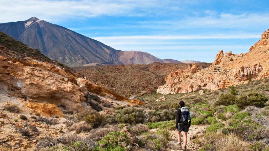
The routes for climbing Mount Teide on foot
- The most popular
PNT 07 Montaña Blanca – La Rambleta
From km 40.2 of the TF‑21, via Montaña Blanca and the Altavista Refuge, to the upper cable car station.
8.29 km+1,309 m2,348 → 3,536 m5 h 55 minBooking - Experienced hikers only
PNT 09 Teide – Pico Viejo – Narices del Teide
Links the TF‑38 (km 3.2) with the Pico Viejo viewpoint, next to La Rambleta, skirting Pico Viejo. The official page describes it downhill.
9.61 km1,605 m height difference2,048 → 3,499 m5 h 10 min (downhill)Booking
For most hikers, Montaña Blanca is the one. The Pico Viejo route is longer, more exposed and has more loose rock: only for people with high-mountain experience.
The full climb to the summit, in one chart
If you link the two trails you need to reach the summit on foot, these are the numbers according to the official routes:
- 8.95 kmfrom the TF‑21 to the crater (8.29 + 0.66 km)
- +1,491 mof total ascent (1,309 + 182 m)
- 2,348 → 3,715 mof altitude, the highest point in Spain
- 2 permitsPNT 07 and PNT 10, each with its own time slot
- Gradient under 10 %
- 10 to 20 %
- Over 20 %
See the profile data as a table
| Km | Altitude | Section gradient |
|---|---|---|
| 0.00 | 2,348 m | |
| 1.00 | 2,427 m | +7 % |
| 2.00 | 2,492 m | +8 % |
| 3.00 | 2,578 m | +10 % |
| 4.00 | 2,670 m | +8 % |
| 5.00 | 2,801 m | +22 % |
| 6.00 | 3,038 m | +22 % |
| 7.00 | 3,254 m | +21 % |
| 8.00 | 3,496 m | +20 % |
| 8.95 | 3,715 m | +24 % |
More than half the distance (up to the checkpoint at km 4.6) only climbs 373 m. From there to the crater there are about 4.3 km and almost 1,000 m of ascent, with the altitude already above 2,700 m.
Which permits you need to hike up
Each regulated trail has its own permit. To reach the summit on foot you need two:
Both are booked on Tenerife ON up to 56 days ahead; new places open every Monday at 07:00 (Canary Islands time, the same as the UK). Depending on the time slot and where you live, there may be a fee. Coordinate the times: you need to reach La Rambleta before your PNT 10 slot starts.
See the official PNT 07 page on Tenerife ON
If you only want the summit permit, we explain it in our Mount Teide permit guide.
- One for the trail you walk up (PNT 07 or PNT 09). The PNT 07 permit gives you a time slot, which is when you have to validate your booking at the checkpoint 4.6 km from the start. It’s valid for going up and down that day.
- One for PNT 10 Telesforo Bravo, for the last stretch to the crater, with its own time slot.
The Montaña Blanca route, section by section
- Km 0 – 4.6
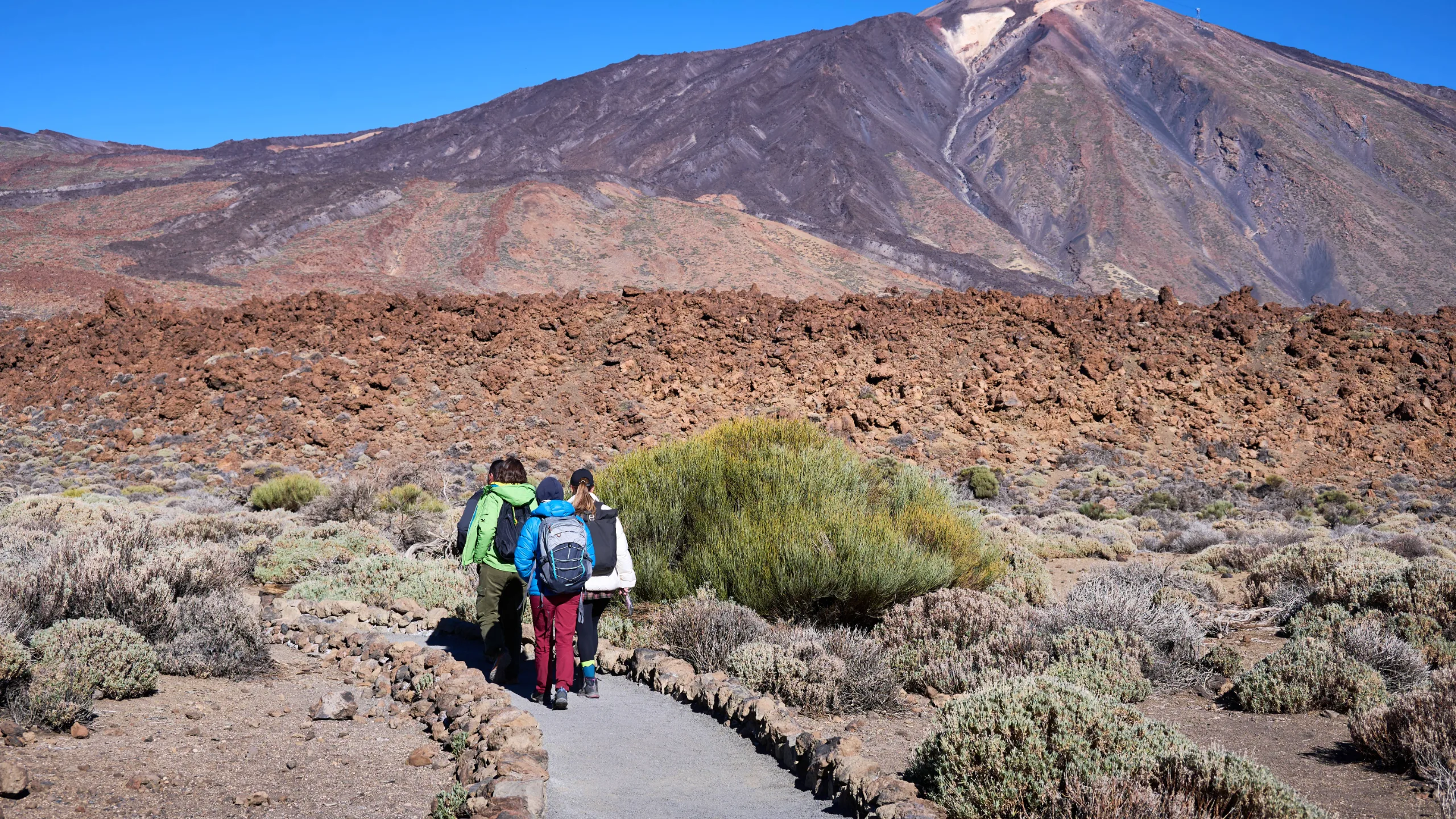
The Montaña Blanca track
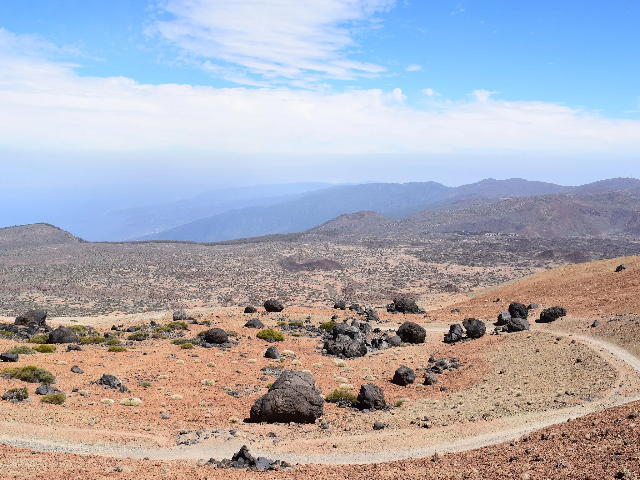
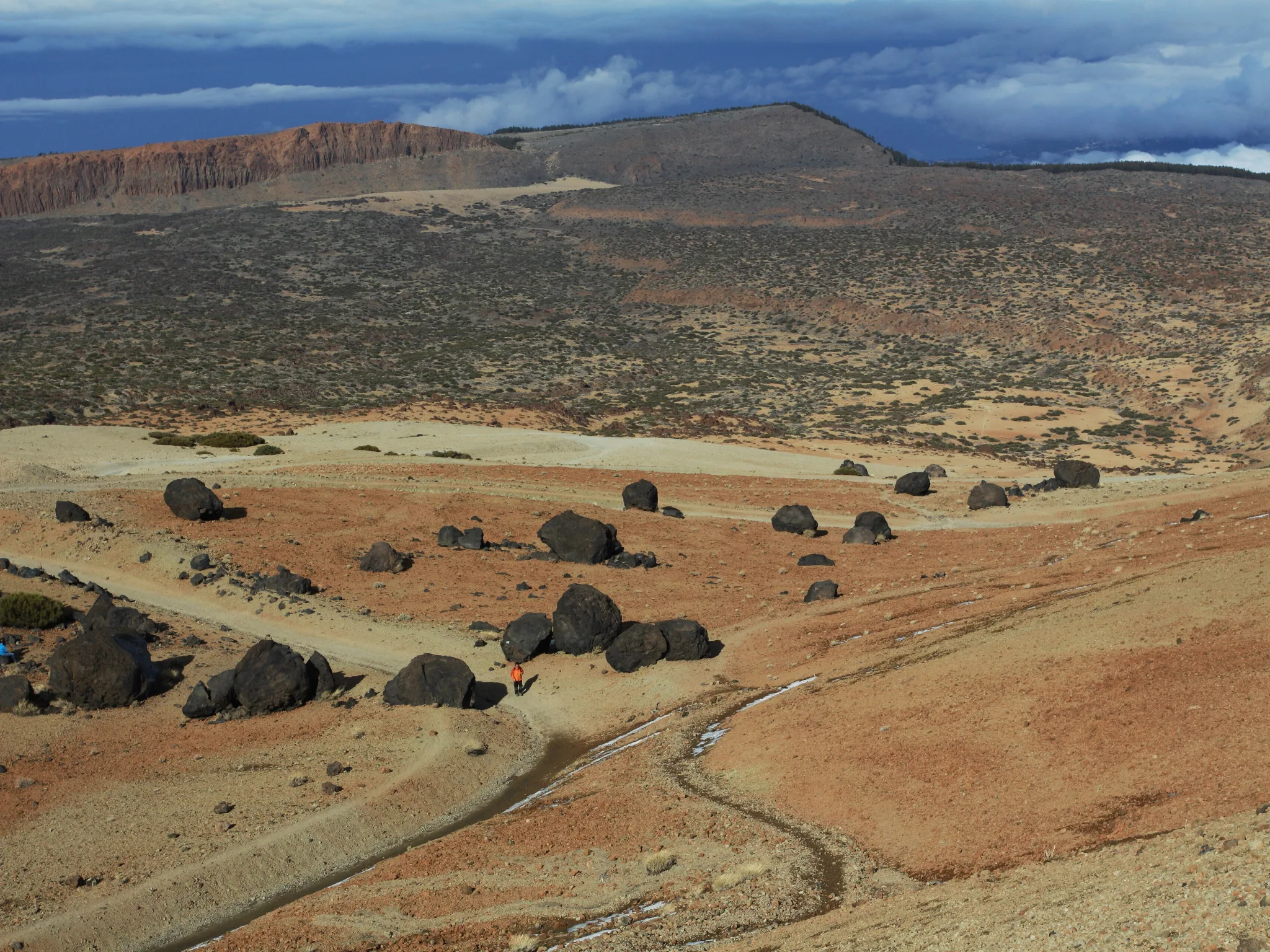
A wide track of pale pumice among the «Huevos del Teide» (Teide’s eggs), big balls of lava that rolled down the slope. The gentlest section: a good warm-up.
+373 m≈ 8 % - Km 4.6 – ≈ 7.0
Lomo Tieso up to Altavista
The old path to the peak. Ramps that exceed 60 % in places and rising altitude: this is where your pace for the day is set.
≈ +540 m≈ 22 % - Km ≈ 7.0 – 8.3
Lava flows up to La Rambleta
Young black lava with almost no vegetation, apart from species such as the Teide violet, up to the Mirador de La Fortaleza and the upper cable car station.
≈ +276 m≈ 21 % - Final stretch · 656 m
Telesforo Bravo to the summit
From La Rambleta to the crater, with fumaroles and a smell of sulphur. Only with the PNT 10 permit and within your slot.
+183 m≈ 26 %
There’s more detail on the first trail in our Montaña Blanca guide.
Getting down: on foot or by cable car
- Walking down the same way: the PNT 07 permit is valid in both directions on the same day. Allow several more hours for the descent and look after your knees on the loose rock.
- Riding down by cable car: the down-only ticket is bought at the upper station with a QR code and depends on the cable car running. If it closes because of wind, you’ll have to walk down, so save some energy and daylight.
Walking down, the hard part is the 3.7 km to the checkpoint at km 4.6 (about 815 m of descent); the rest is an easy track.
Check the time of the last trip down in our guide to the Teide cable car.
Difficulty and preparation
The national park warns that these are high-mountain trails, not suitable for people with heart, breathing or mobility problems. There are steep gradients, unstable surfaces, sudden temperature changes and less oxygen, which can cause extreme fatigue and dizziness.
- Start early so you’re not climbing in the strongest sun.
- Carry at least two litres of water per person and some energy food.
- Take short, frequent breaks. Going slowly is the key.
- If you get a bad headache, nausea or dizziness, turn back. More in altitude sickness on Mount Teide.
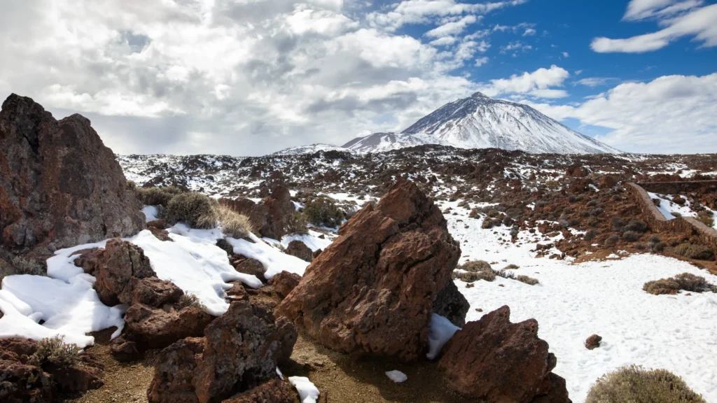
- Check the mountain forecast and the trail status beforehand: with ice or snow, the requirements change.
Compulsory gear
- Mountain footwear on all the trails on the volcano, in summer too.
- A fleece or warm layer compulsory even if it’s hot lower down: at the top the temperature changes quickly.
- Long trousers on the Telesforo Bravo trail, worn or in your rucksack.
- With ice or snow 10 or 12-point crampons, an ice axe and a signed statement of experience.
Park staff can stop you if you don’t have it, even with a booking. We help you get it ready in what to wear on Mount Teide.
Frequently asked questions
How long does it take to hike up Mount Teide?
The official PNT 07 page estimates almost six hours to La Rambleta for average fitness. Add the final stretch to the summit and the descent.
Can you hike Mount Teide without a permit?
No. The trails on the volcano (PNT 07, 09, 10, 23 and 28) require a permit in advance, and going without a booking can be fined.
Can you walk up and take the cable car down?
Yes, by buying a down-only ticket at the upper station, as long as the cable car is running.
Is it very hard?
It’s demanding because of the ascent and the altitude rather than the technique. You need to be fit and have experience of mountain walking.
Can you sleep on Mount Teide?
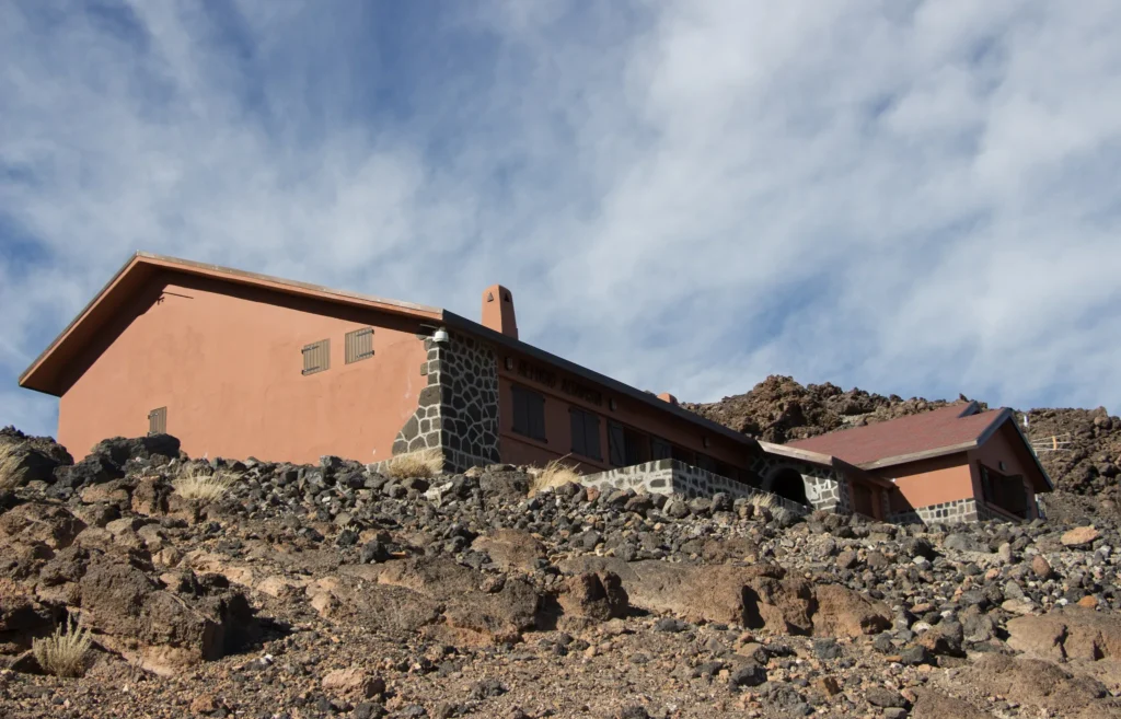
There’s the Altavista Refuge, at around 3,260 m, and bivouac areas with a permit. Check whether it’s open before planning.
Sources: Tenerife ON (PNT 07 and PNT 10 trail pages, permit FAQs, October 2026 notice on compulsory gear); full climb profile calculated by Teide Inolvidable from the official routes. Last reviewed: 16 November 2026.