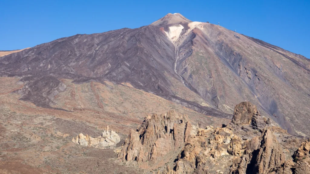
Quick answer: Mount Teide is 3,715 metres above sea level, according to Spain’s Instituto Geográfico Nacional (IGN). It’s the highest point in Spain and on any island in the Atlantic. The 3,718-metre figure you still see in many places comes from older measurements. Measured from its base on the ocean floor, the volcanic edifice is around 7,500 metres high.
Is Mount Teide 3,715 or 3,718 metres high?
- 3,715 mofficial IGN altitude, measured in 1983 with a survey point on the summit
- 3,718 molder figure still seen on signs and websites
For decades, books, signs and websites repeated the 3,718-metre figure. However, the Instituto Geográfico Nacional measured Teide in 1983 using precision angular observation techniques, setting up a geodetic survey point on the summit, and got 3,715 metres. Later measurements by Grafcan confirmed it. That’s the official altitude the IGN maintains.
It’s not that the mountain has shrunk: measuring techniques are simply more precise. Even so, you’ll see 3,718 m in older official material and on some institutional websites.
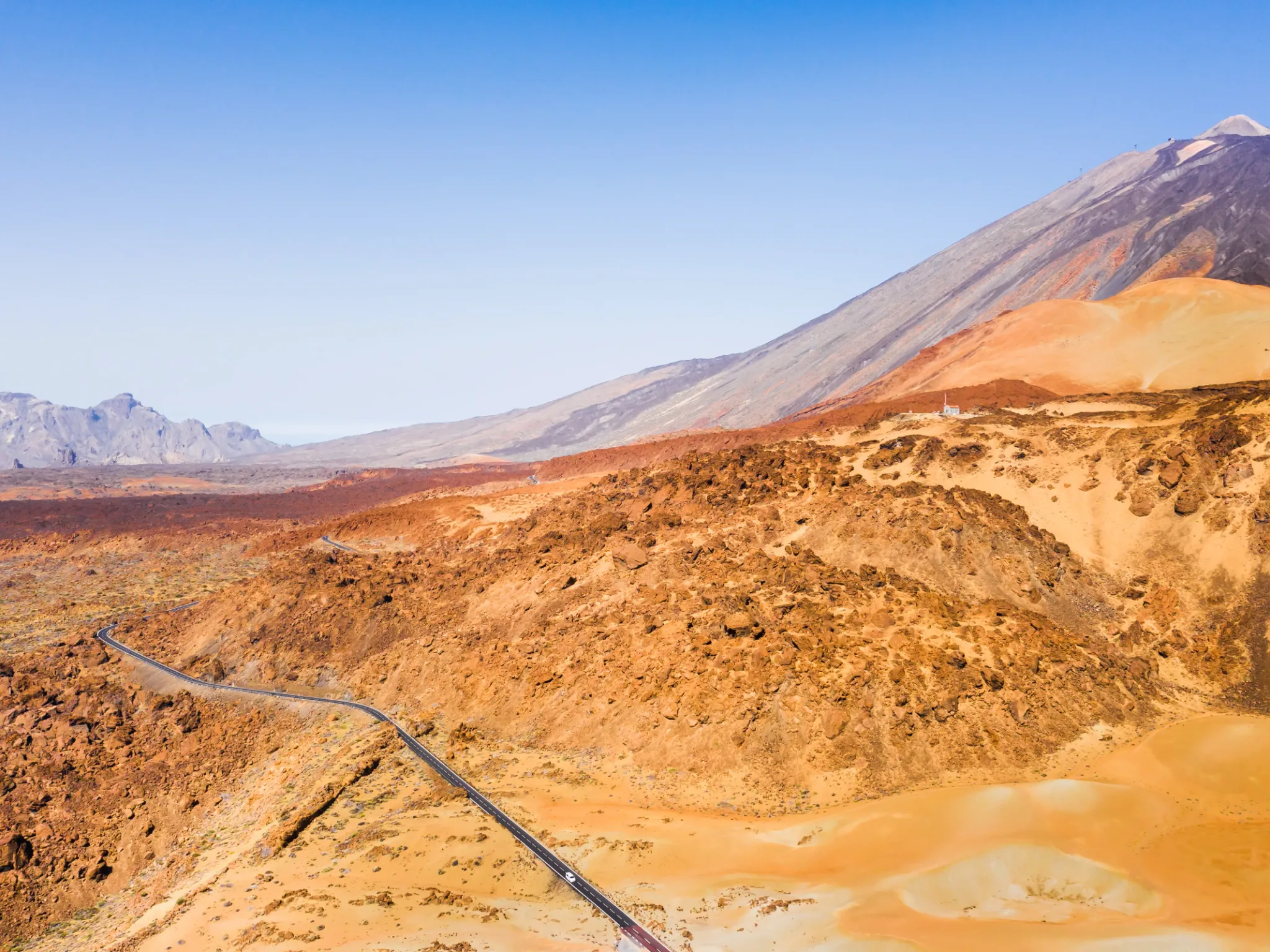
How high is Mount Teide from the ocean floor?
An island volcano doesn’t start at the beach but on the seabed. Measured from its underwater base, Teide exceeds 7,000 metres (around 7,500 is the figure usually quoted), which places it among the largest volcanoes on the planet by total height, behind Hawaii’s great volcanoes.
Is Mount Teide an active volcano?
Yes. Being active doesn’t mean it’s erupting or that it’s dangerous to visit: monitoring makes it possible to detect changes well in advance.
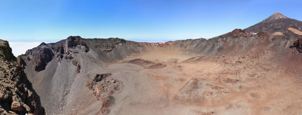
- Active stratovolcano: Teide and Pico Viejo form a single active volcanic edifice.
- Continuous monitoring: by the Instituto Geográfico Nacional and other scientific bodies.
- Fumaroles on the summit: you can see them and smell the sulphur, a sign that the volcano isn’t dead.
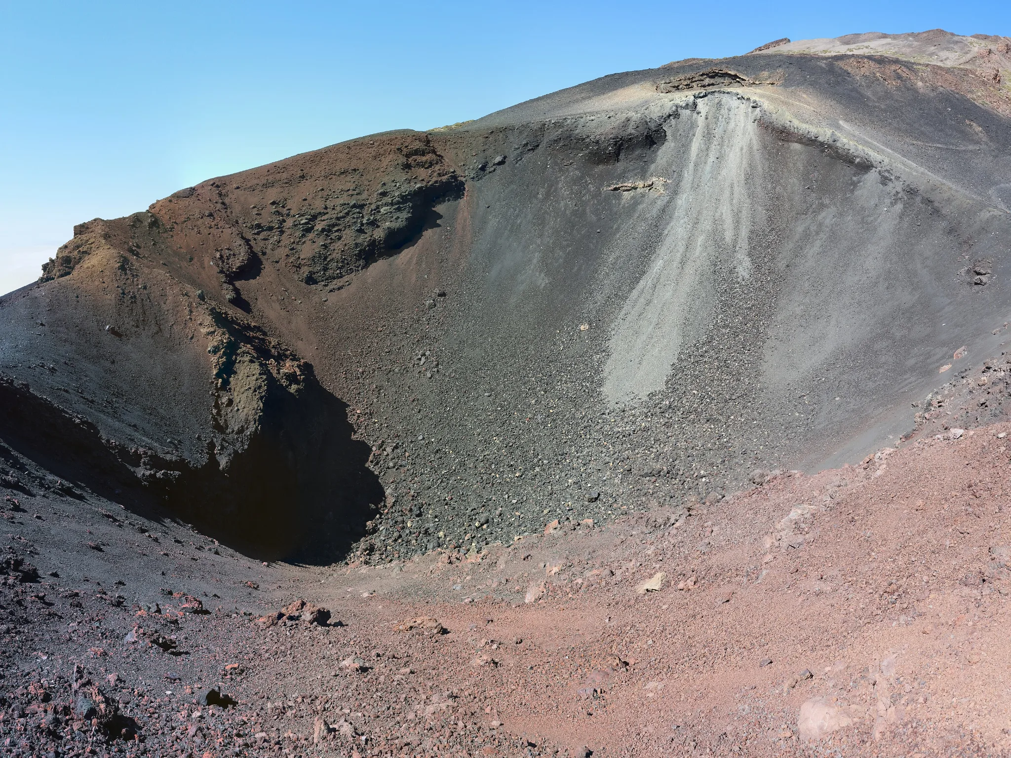
When did Mount Teide last erupt?
- Medieval times: the last eruption from Teide’s summit; its black lava flows now run down towards Pico Viejo.
- 1798, Narices del Teide (Chahorra): the last eruption inside the national park, on the slope of Pico Viejo.
- 1909, Chinyero: Tenerife’s most recent eruption, outside the national park.
You can see those eruptive vents from the TF‑38. We cover them in Pico Viejo and the Narices del Teide.
Reference heights on Mount Teide
- Teide summit (IGN)3,715 m
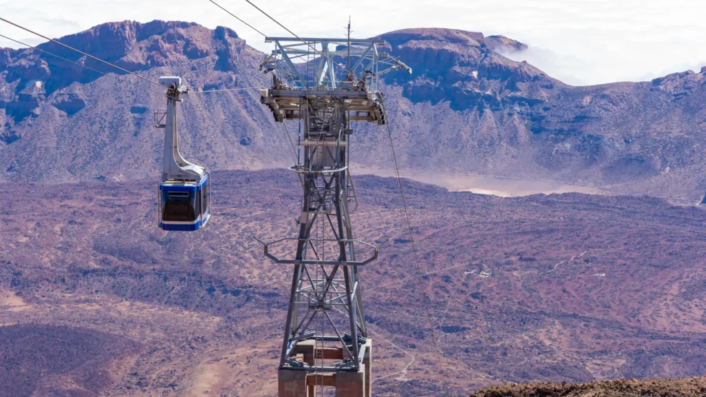
- La Rambleta, upper cable car station3,555 m
- Altavista Refuge≈3,260 m
- Pico Viejo crater rim≈3,100 m
- Cable car base station2,356 m
- Las Cañadas≈2,000–2,200 m
See the heights as a table
| Teide summit | 3,715 m (IGN) |
|---|---|
| La Rambleta (upper cable car station) | 3,555 m |
| Altavista Refuge | ≈3,260 m |
| Pico Viejo crater rim | ≈3,100 m |
| Cable car base station | 2,356 m |
| Las Cañadas | ≈2,000–2,200 m |
Frequently asked questions
What’s the highest mountain in Spain?
Mount Teide, at 3,715 metres according to the Instituto Geográfico Nacional.
Why do people say it’s 3,718 metres high?
It’s an old figure. The IGN’s official measurements since 1983 give 3,715 metres.
Could Mount Teide erupt?
It’s an active volcano and it’s monitored. There’s no way to predict an eruption years in advance, but monitoring picks up warning signs.
Can you climb to the summit?
Yes, with a permit for the Telesforo Bravo trail. We explain how in our Mount Teide permit guide.
Sources: Instituto Geográfico Nacional and Grafcan (altitude), Tenerife ON (PNT 09 and PNT 10 trail pages), UNESCO. Last reviewed: 16 November 2026.