Quick answer: the Altavista Refuge (Refugio de Altavista) is at about 3,260 metres on the side of Mount Teide, on the PNT 07 Montaña Blanca – La Rambleta trail. It was built at the end of the 19th century and its operator says it was renovated in 2026. Bookings are made on its official website (refugioaltavista.com). Before you plan anything, check there whether it’s open: its status has changed several times in recent years.
Independent information website. We don’t handle refuge bookings or permits.
What the Altavista Refuge is
- ≈3,260 maltitude, on Teide’s eastern slope
- 1892origin of the refuge
- ≈7 kmfrom the TF‑21 along the PNT 07 trail
- ≈910 mof ascent from the start of the trail
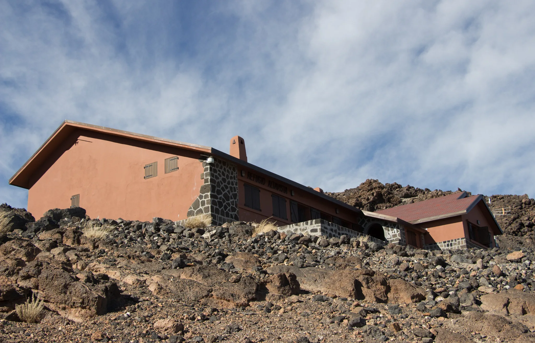
It’s Mount Teide’s mountain hut, a stone building on the volcano’s eastern slope, on the old path to the peak via Lomo Tieso. Its origins go back to 1892. For decades it has been used to sleep halfway up and reach the summit at first light. It’s run by the same company that operates the cable car.
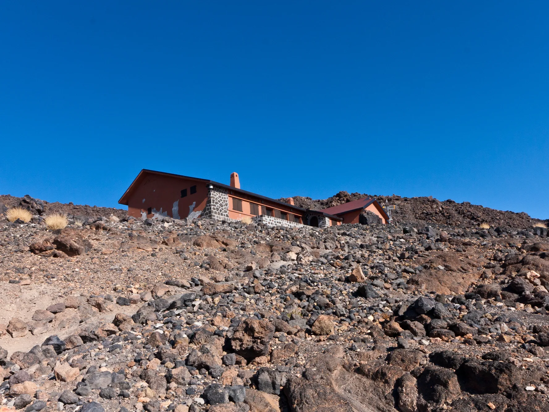
Is the Altavista Refuge open?
We’ve found contradictory information on the refuge’s own pages, so we don’t give an opening date or prices:
- Renovated in 2026: the operator explains that it was refurbished with solar power and its own water systems.
- But also «closed until further notice»: other pages of its website still say so.
- Before you organise anything: check its official website or email its bookings address.
How to get to the refuge
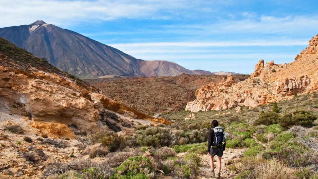
You can only get there on foot, along the PNT 07 trail from Montaña Blanca. First comes the pumice track and then the steep Lomo Tieso section, with gradients over 60 % in places. Allow several hours to walk up with a pack. The full description is in Montaña Blanca (PNT 07).
- Gradient under 10 %
- 10 to 20 %
- Over 20 %
See the profile data as a table
| Km | Altitude | Section gradient |
|---|---|---|
| 0.00 | 2,348 m | |
| 1.00 | 2,427 m | +7 % |
| 2.00 | 2,492 m | +8 % |
| 3.00 | 2,578 m | +10 % |
| 4.00 | 2,670 m | +8 % |
| 5.00 | 2,801 m | +22 % |
| 6.00 | 3,038 m | +22 % |
| 7.00 | 3,254 m | +21 % |
| 8.00 | 3,496 m | +20 % |
| 8.25 | 3,532 m | +14 % |
Up to the checkpoint at km 4.6 the climb is gentle, about 373 m. From the checkpoint to the refuge there are about 2.4 km and roughly 530 m of ascent: the part you’ll feel most with a pack. From the refuge to La Rambleta there are still about 1.3 km and 280 m to go.
Permits you need
- PNT 07 Montaña Blanca – La Rambleta: a booking on Tenerife ON to walk the trail in your allocated slot.
- PNT 10 Telesforo Bravo: if you want to go up to the summit, an additional permit with its own slot (there are early-morning slots outside cable car hours).
Check with the refuge whether its booking includes any special conditions for the trails. Everything about the summit permit is in our Mount Teide permit guide.
Tips for sleeping at 3,260 metres
- Climb slowly and drink plenty of water: sleeping at altitude increases the risk of altitude sickness.
- Bring winter clothing: nights are very cold at any time of year.
- A head torch with spare batteries for the pre-dawn start.
- Mountain footwear and, with ice or snow, crampons and an ice axe: they’re compulsory on the volcano’s trails.
Frequently asked questions
How high is the Altavista Refuge?
About 3,260 metres above sea level.
Can you get there by cable car?
Not directly. The refuge is below La Rambleta, on the Montaña Blanca trail.
How do you book?
On the refuge’s official website, refugioaltavista.com. Check first whether it’s open.
Can I camp on Teide instead of staying at the refuge?
Only in the authorised bivouac areas and with a prior booking on Tenerife ON.
Sources: Volcano Teide (Altavista Refuge information), Tenerife ON (PNT 07 and bivouac pages); profile calculated by Teide Inolvidable from the official PNT 07 route. Last reviewed: 16 November 2026. Cover photo: Michal Klajban, CC BY-SA 4.0, via Wikimedia Commons (cropped and resized).