Quick answer: the PNT 07 Montaña Blanca – La Rambleta trail starts at km 40.2 of the TF‑21 road and climbs 8.29 km to the upper cable car station, from 2,348 to 3,536 m. It needs a booking on Tenerife ON, which you validate at a checkpoint 4.6 km from the start, and the official page allows almost six hours to walk up. Something people often overlook: the first 4.6 km only climb 373 m, and almost 70 % of the ascent is packed into the last 3.7 km. To carry on to the summit you also need the PNT 10 permit.
Independent, unofficial information website. Permits are booked on Tenerife ON.
PNT 07 trail facts
- 8.29 kmlinear, point to point
- +1,309 mof total ascent (and 122 m of descents)
- 3,536 mmaximum altitude, starting from 2,348 m
- 5 h 55 minto walk up, according to the official page
- Start
- Km 40.2 of the TF‑21 (Montaña Blanca car park)
- End
- La Rambleta, where it joins the PNT 11 Mirador de La Fortaleza trail
- Difficulty
- High, on the MIDE scale used by Tenerife ON
- Municipality
- La Orotava, inside the national park and the Teide Natural Monument
- Links with
- PNT 06, PNT 07.1, PNT 11, PNT 27 and PR‑TF 41
- Permit
- Compulsory, on Tenerife ON
The trail profile, kilometre by kilometre
We took the official route published by Tenerife ON and measured the altitude every 250 metres. The result explains why this route is deceptive: it starts like a stroll and ends like a high-mountain climb.
- Under 10 %
- 10 to 20 %
- Over 20 %
See the profile data as a table
| Km | Altitude | Section gradient |
|---|---|---|
| 0.00 | 2,348 m | |
| 0.50 | 2,398 m | 11 % |
| 1.00 | 2,427 m | 7 % |
| 1.50 | 2,456 m | 7 % |
| 2.00 | 2,492 m | 8 % |
| 2.50 | 2,532 m | 8 % |
| 3.00 | 2,578 m | 10 % |
| 3.50 | 2,625 m | 10 % |
| 4.00 | 2,670 m | 8 % |
| 4.50 | 2,716 m | 8 % |
| 5.00 | 2,801 m | 22 % |
| 5.50 | 2,928 m | 27 % |
| 6.00 | 3,038 m | 22 % |
| 6.50 | 3,146 m | 22 % |
| 7.00 | 3,254 m | 21 % |
| 7.50 | 3,378 m | 29 % |
| 8.00 | 3,496 m | 20 % |
| 8.29 | 3,536 m | 10 % |
Up to the checkpoint (km 4.6) the average gradient is around 8 %. From there it barely drops below 20 % on any 250 m section, and the hardest 200 m, between km 7.35 and 7.55, average 31 %. The 60 % ramps mentioned on the official page are short stretches within that average.
The route in three sections
- Km 0 – 4.6
Montaña Blanca track
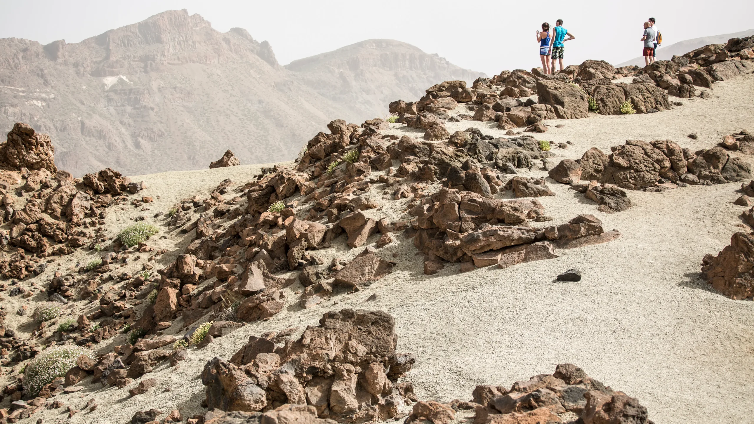
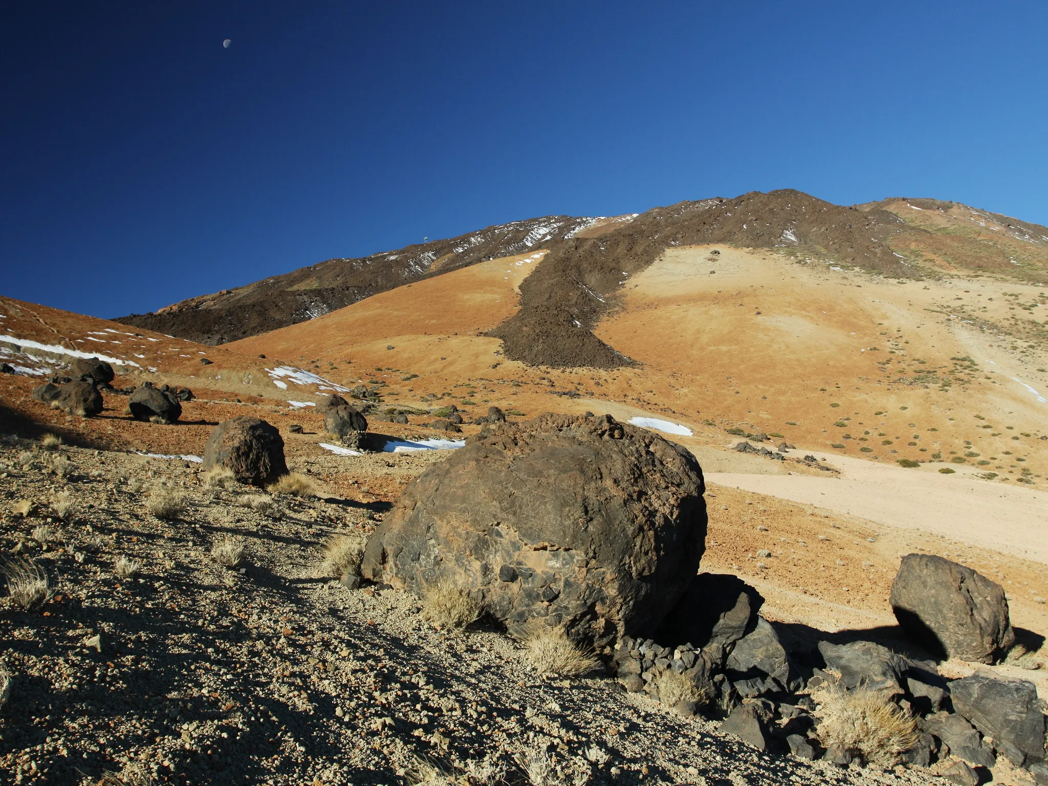
A wide track of pale pumice among the «Huevos del Teide». It’s the comfortable part, but in summer the sun gets strong early.
2,348 → 2,721 m+373 m≈ 8 % - Km 4.6 – ≈ 7.0
Lomo Tieso up to Altavista
After the checkpoint, the old path to the peak starts up the side of the volcano. Here altitude and gradient add up and your pace drops.
2,721 → ≈ 3,260 m≈ +540 m≈ 22 % - Km ≈ 7.0 – 8.3
Lava flows up to La Rambleta
Young black lava with no vegetation, up to the Mirador de La Fortaleza. The average doesn’t ease off: the hardest ramp of the whole route is in this section.
≈ 3,260 → 3,536 m≈ +276 m≈ 21 %
We place the boundary between the second and third sections at the altitude of the Altavista Refuge (about 3,260 m), reached around km 7.0 on the official route. It’s an approximate reference.
What you’ll see along the way
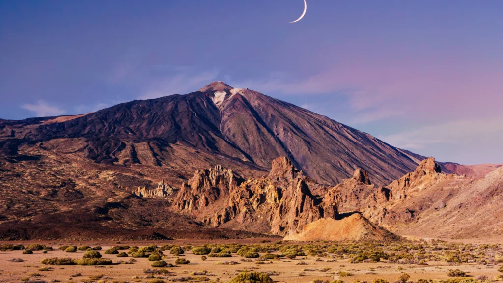
Pumice. Montaña Blanca («white mountain») gets its name from the pale pumice covering the track, left by an explosive eruption.
Accretion balls. The «Huevos del Teide» are fragments of lava that rolled down from the volcano’s vent until they came to rest at the foot of the mountain.
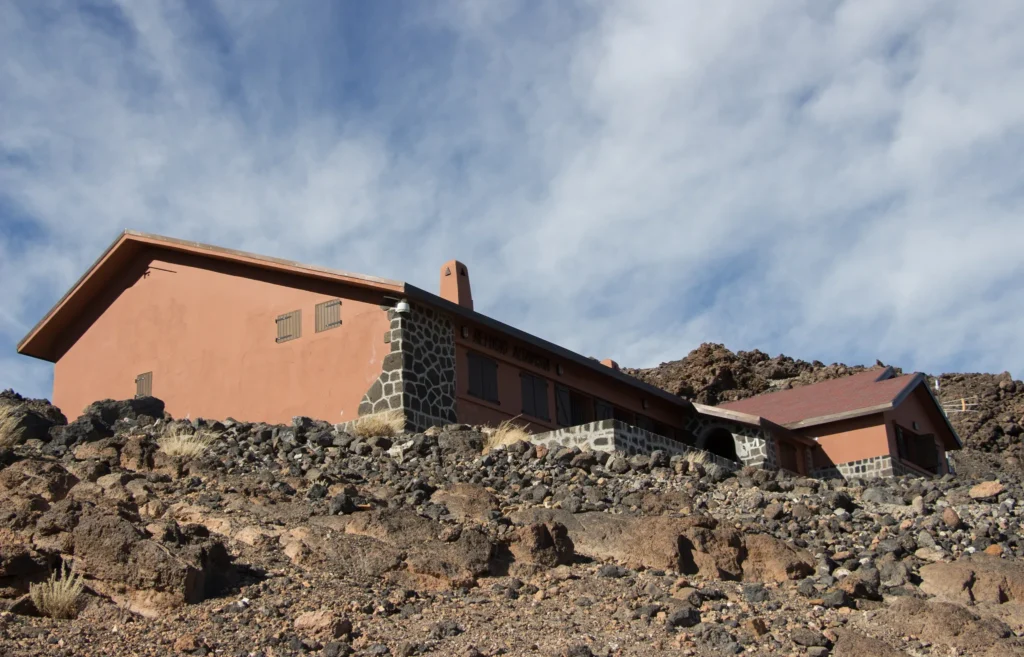
Young lava flows. Above the refuge the ground turns black: recent lava that plants haven’t colonised yet.
High-altitude plants. Teide broom grows up to about 3,400 m, a height the route reaches around km 7.6. Higher up, only species such as the Teide daisy or the Teide violet survive.
Permit and checkpoint
-
Book on Tenerife ON
On the PNT 07 page, after signing up. Depending on the time slot and the residency shown on your ID, there may be a fee.
-
Mondays at 07:00
Every Monday at that time (Canary Islands time, the same as the UK) places open for the following 56 days.
-
The slot is your checkpoint time
It’s the time you validate your booking at the checkpoint, 4.6 km from the start, at the junction with the branch up to the top of Montaña Blanca.
-
Up and down the same day
The booking is valid in both directions on the chosen day. To stand on the summit you also need the PNT 10 permit.
How to plan the day
Work backwards from your slot. Your booking time is the time at the km 4.6 checkpoint, not your start time. The track up to there is the flat part, but it’s still 4.6 km: leave in good time.
If you’re going to the summit, match the two slots. From the checkpoint there are about 3.7 km and 815 m of ascent to La Rambleta, where PNT 10 begins. Pick a PNT 10 slot that leaves you plenty of time.
Decide how you’ll get down. On foot the same way, or by cable car with a down-only ticket bought at the top, and only if it’s running that day.
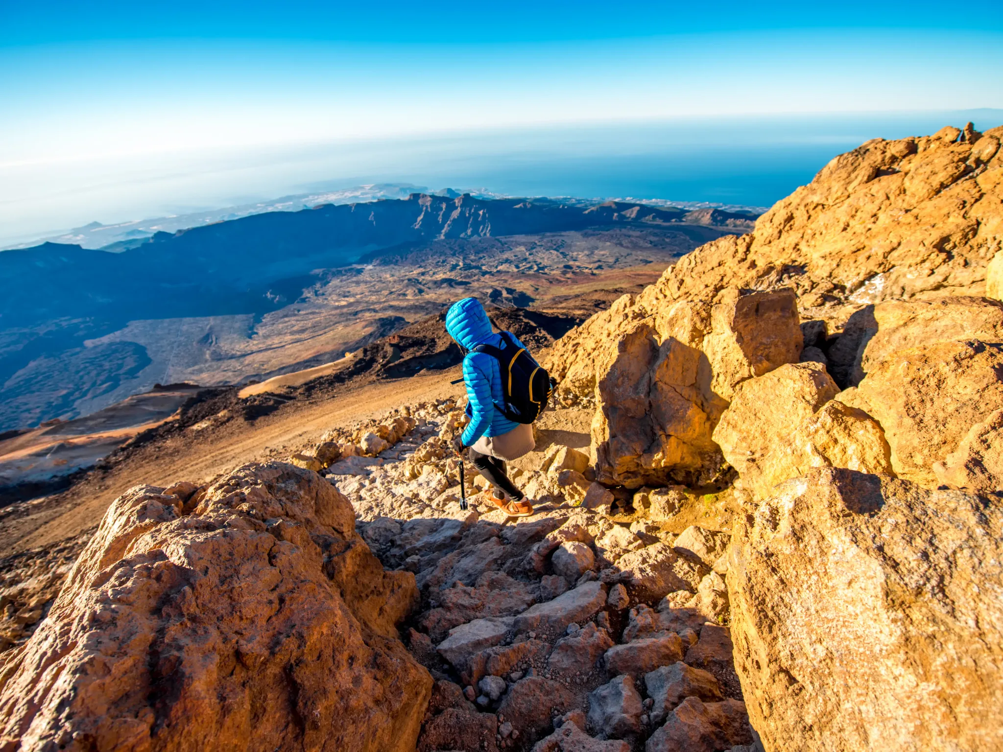
Compulsory gear: mountain footwear and a warm layer, in summer too. With ice or snow, crampons and an ice axe. More in what to wear and how to prevent altitude sickness.
Frequently asked questions
How long does it take to walk up via Montaña Blanca?
The official page allows 5 hours 55 minutes to La Rambleta. Expect your pace to drop a lot in the second half: almost 70 % of the ascent is in the last 3.7 km.
What’s the hardest part of PNT 07?
Everything above the checkpoint at km 4.6. According to the official route, the steepest 200 m are between km 7.35 and 7.55, with an average gradient of 31 %.
Can you hike Montaña Blanca without a permit?
No, PNT 07 requires a booking in advance and it’s checked at the checkpoint. Going without one can be fined.
Can I just go to the top of Montaña Blanca?
The PNT 7.1 branch leaves from the same track, at the junction where the PNT 07 checkpoint is. Before you go, check on Tenerife ON which sections require a booking.
Can you sleep along the way?
At the Altavista Refuge, at about 3,260 metres, when it’s open. Check its status in our Altavista Refuge guide.
Where do you park?
In the small Montaña Blanca car park, next to km 40.2 of the TF‑21. It fills up early, so have a plan B.
Sources: Tenerife ON, official PNT 07 trail page and route (profile calculated by Teide Inolvidable from that route) and notice on compulsory gear (October 2026). Last reviewed: 15 November 2026.