Quick answer: the Roques de García are the rock formations around Roque Cinchado, the best-known image of Mount Teide. They’re next to the TF‑21, opposite the Parador hotel and the Cañada Blanca Visitor Centre. You can see them from the La Ruleta viewpoint and walk around them on the PNT 03 loop trail: 3.47 km, about two hours, easy, and open access with no booking.
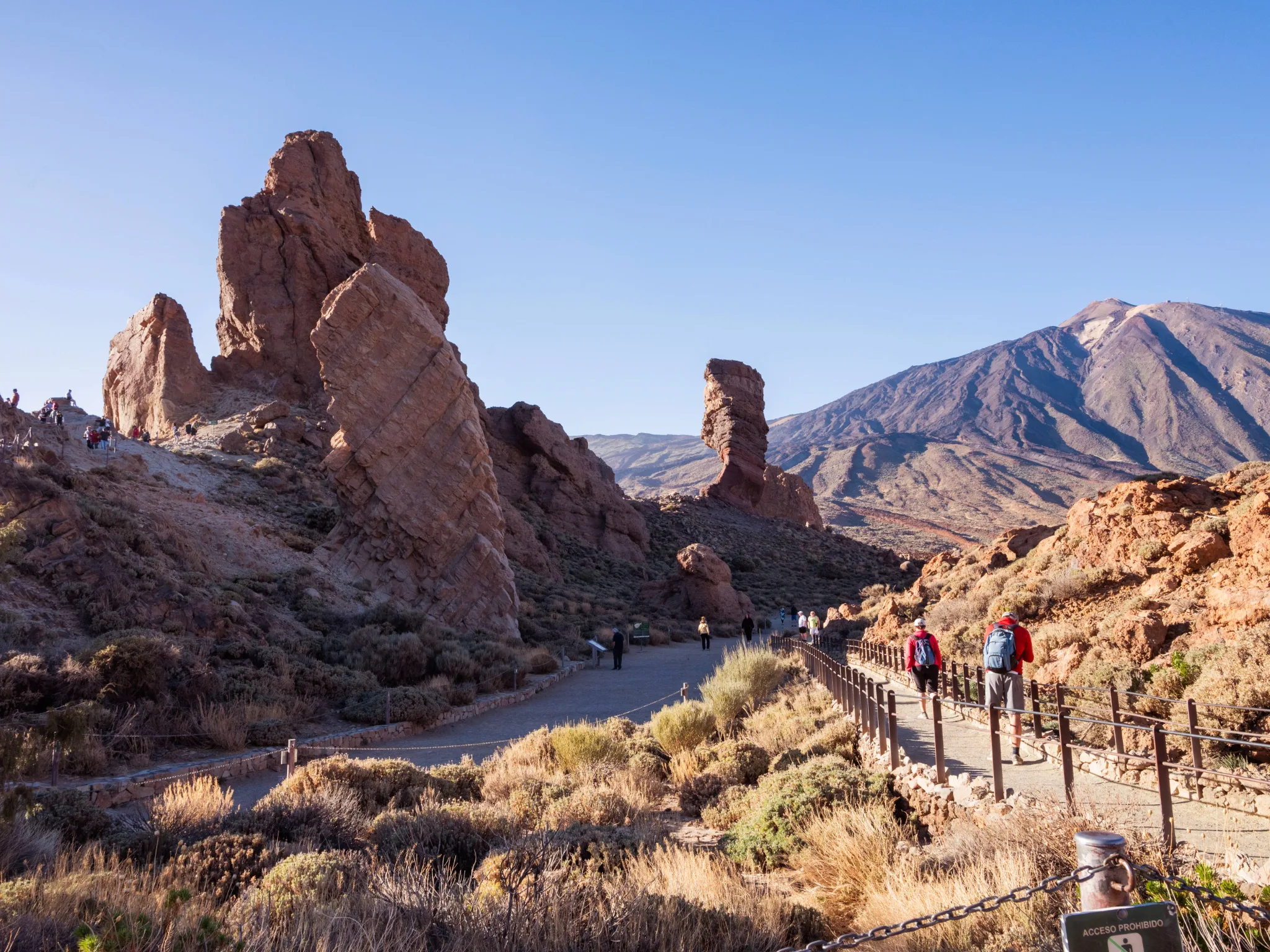
What the Roques de García are
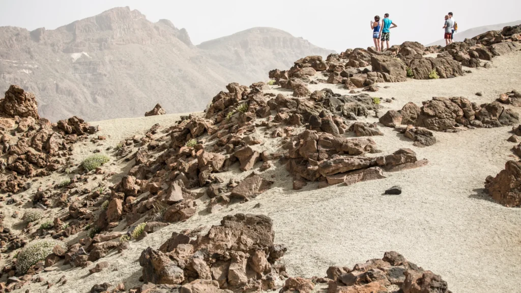
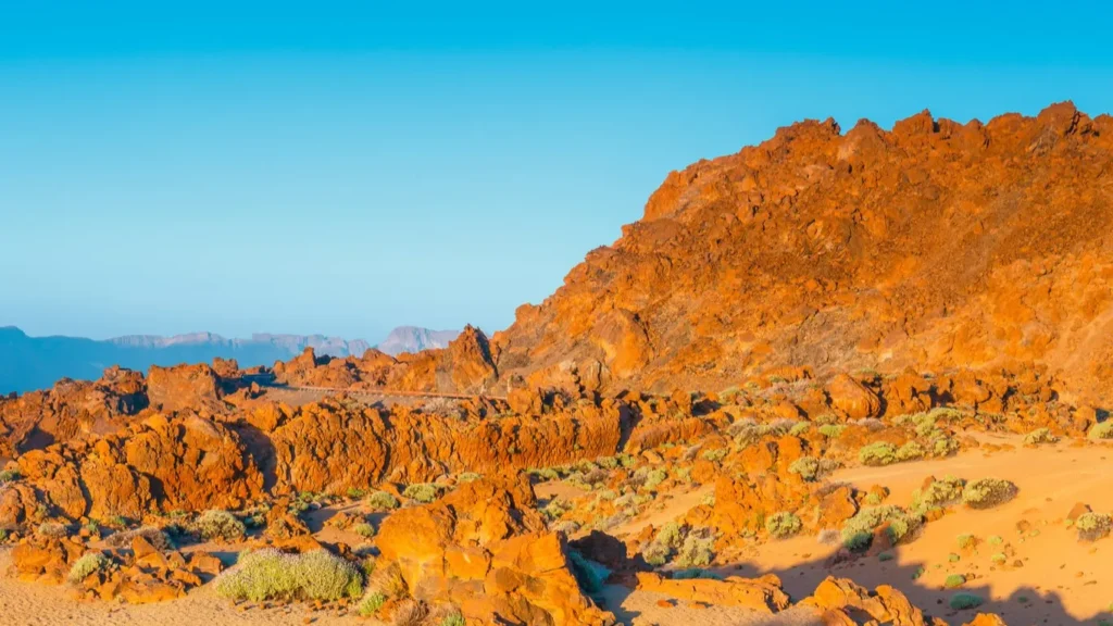
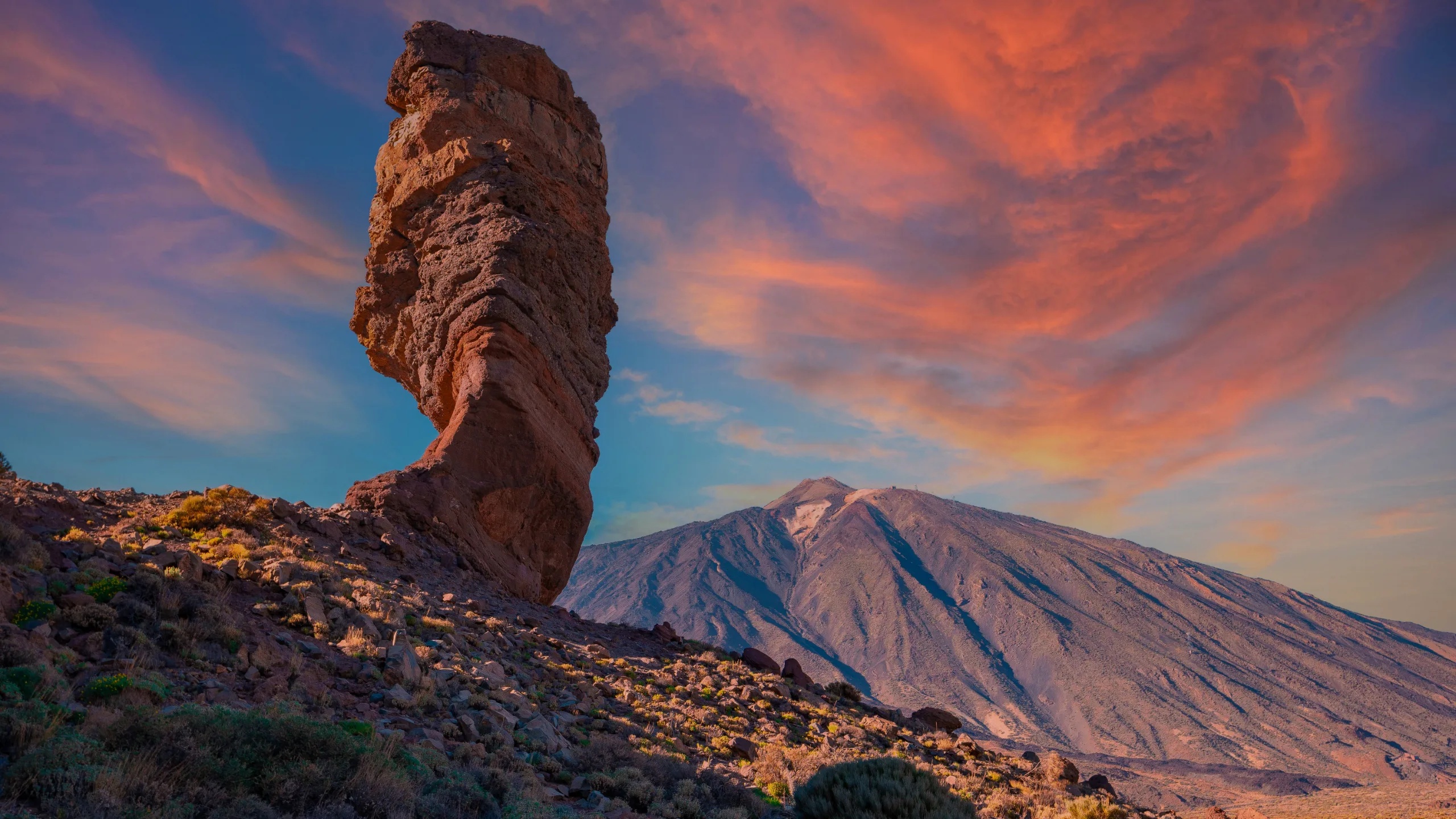
They’re what’s left of the old wall that separated the two great calderas of Las Cañadas, shaped over thousands of years by erosion. The most famous is Roque Cinchado, narrow at the base and wider at the top, which seems to defy gravity. Others nearby include El Torrotito and the formation known as La Catedral (the Cathedral).
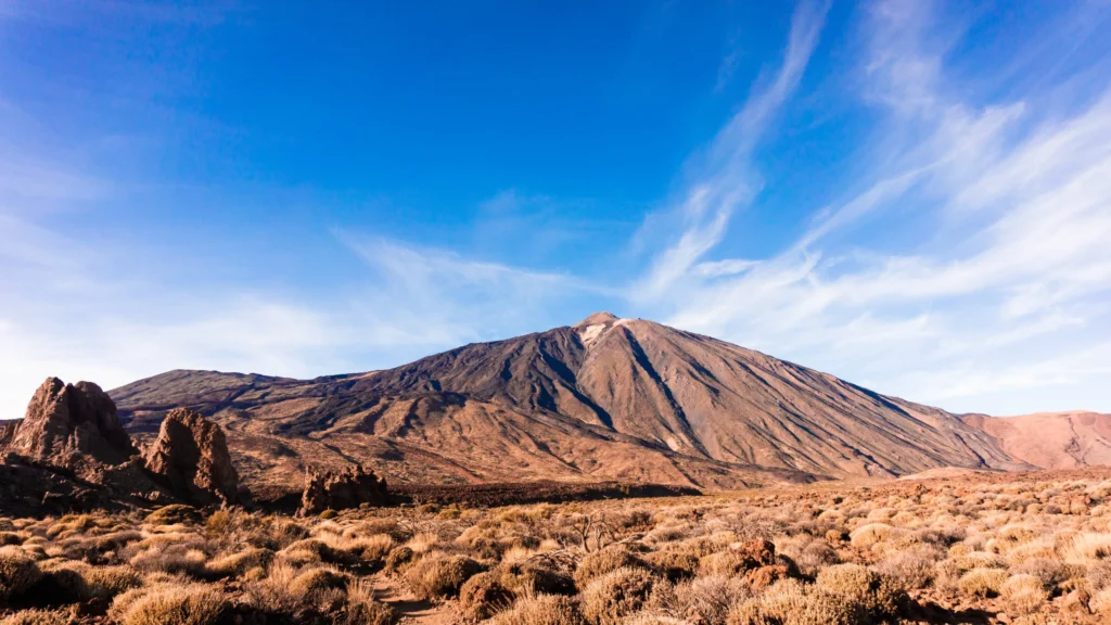
Behind them, Mount Teide completes the scene. It’s by far the busiest stop in the national park.
On its official page, Tenerife ON highlights two points of interest on the route: La Catedral, an old volcanic chimney, and the Roques de García group itself. From the trail you can also see La Cascada (the Waterfall), a very fluid lava flow.
Getting there and parking
- Where they are: next to the TF‑21 road, in the middle of Las Cañadas, opposite the Parador de Las Cañadas del Teide and the Cañada Blanca Visitor Centre.
- By car: there’s parking next to the Mirador de La Ruleta, where the trail starts and ends. It fills up in the middle of the day.
- By bus: TITSA line 342 from the south and line 348 from the north stop near the Parador. Check the timetable before you go.
All the access roads are in how to get to Mount Teide.
The PNT 03 Roques de García loop trail
- 3.47 kmloop, starting and finishing at the Mirador de La Ruleta
- ±202 mof ascent and the same of descent
- 2,184 mmaximum altitude; minimum 2,023 m
- 1 h 55 minaccording to the official page, easy (MIDE)
- Start and end
- Mirador de La Ruleta, next to the TF‑21
- Permit
- No. Open access with no booking, suitable for everyone
- Links with
- PNT 23, PNT 26 and the Roques de García Accessible Trail
- Gradient under 10 %
- 10 to 20 %
- Over 20 %
See the profile data as a table
| Km | Altitude | Section gradient |
|---|---|---|
| 0.00 | 2,139 m | |
| 0.50 | 2,143 m | +1 % |
| 1.00 | 2,169 m | +6 % |
| 1.50 | 2,144 m | -14 % |
| 2.00 | 2,089 m | -12 % |
| 2.50 | 2,024 m | -10 % |
| 3.00 | 2,084 m | +20 % |
| 3.47 | 2,139 m | +2 % |
The route shares its start with the Roques de García Accessible Trail. It keeps the formations on your left and reaches the Llano de Ucanca with no climbing. From there a gentle descent begins, with views of La Cascada, a very fluid lava flow that looks like a petrified waterfall. It then skirts La Catedral and returns to the start. The final stretch back has the most noticeable climb.
Following the direction of the official page, the route climbs gently to its highest point (2,183 m) around km 1.2, drops to about 2,024 m around km 2.5 and finishes with the climb back up to La Ruleta. That’s where the steepest section is: 200 metres with 56 m of ascent, a 28 % gradient. It’s short, but worth taking calmly at over 2,000 m.
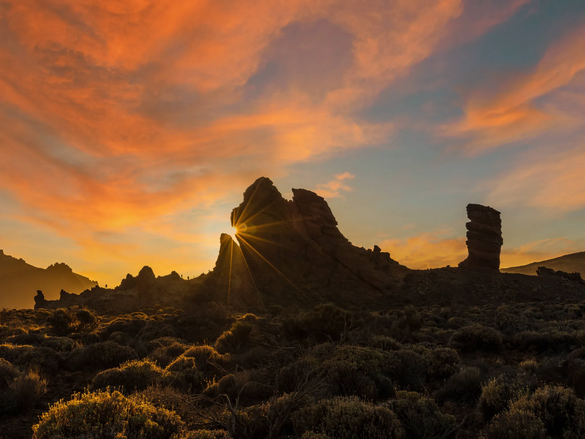
What to see nearby
- Mirador de La Ruleta: the classic view of Roque Cinchado with Teide behind it.
- Llano de Ucanca: the great plain that opens out below the Roques, with the wall of Las Cañadas in the background.
- Cañada Blanca Visitor Centre: audiovisual displays and a viewing terrace with a model of the landscape. More in visitor centres.
- Mirador de los Azulejos: rocks tinted green by hydrothermal alteration, a few minutes’ drive away.
If you love a view, don’t miss our list of the best Teide viewpoints.
Tips for visiting the Roques de García
- Arrive early or late in the afternoon: there are fewer people and the light is better for photos.
- Stay on the signposted paths and don’t climb the rocks: the park’s plants are fragile and protected.
- Bring water, a cap and sun cream: you’re above 2,000 metres.
- With children, the accessible section at the start is a good option.
Frequently asked questions
Do you need a permit for the Roques de García?
No. Both the viewpoint and the PNT 03 loop trail are open access.
How long does the trail take?
About two hours at a relaxed pace for its 3.47 km, according to the official page.
How much climbing is there on the Roques de García trail?
According to the official page, 202 m up and the same down, between 2,023 and 2,184 m of altitude. The steepest ramp on the route is 200 m at a 28 % gradient.
Is it suitable for children?
It’s easy, although there are some rocky sections and a climb at the end. The accessible section at the start is suitable for everyone.
What is Roque Cinchado?
It’s the most distinctive formation of the Roques de García, narrow at the base and wide at the top, with Mount Teide in the background.
Sources: Tenerife ON, official PNT 03 trail page and route (profile calculated by Teide Inolvidable from that route); Teide National Park (access and visitor centres). Last reviewed: 16 November 2026.